
 Hwy 19 west (from Kona Airport to Waimea)
WorldTourist.com Hawaii (Big Island) North Pics! Choose other Island!
Hwy 19 west (from Kona Airport to Waimea)
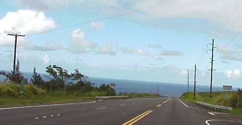
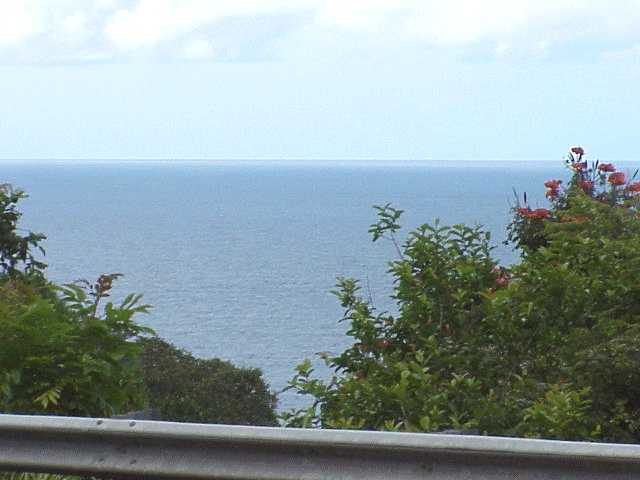
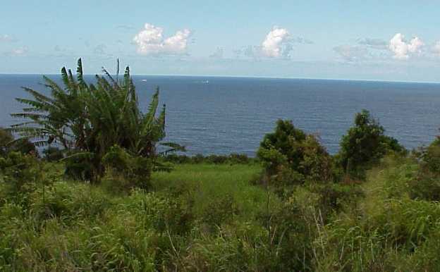
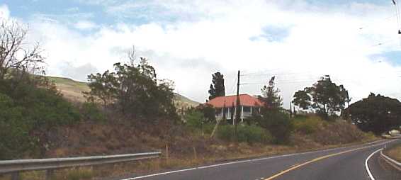
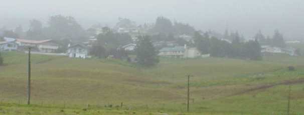
The landscape changes along the Kohala Coast. The northwest highway ranges from fields of black lava dotted with white coral graffiti messages, to green fields and cowboy country. This area is home to the famous Parker Ranch, one of the largest privately owned cattle ranches. One of the larger inland towns is Waimea, it has a small airport, but jet traffic is confined to Kona, on the west side, and Hilo on the east. Waimea is above the 3000 foot elevation, and is at times foggy and usually cooler than low areas. You are ascending the slopes of Mauna Kea the northern most sleeping volcano on the "Big Island". Waimea was very friendly and very inexpensive for food and other items. I highly recommend it for a stop. Highway 19 crosses over the north slope of Mauna Kea and starts heading for the coast. You will see the landscape turn into rainforest as you approach the northeastern "Hamakua Coast". From here to Mauna Loa (Hawaii's Active Volcano) is much different country.